 Detailed photo of Zechariah Green memorial.
STORY TO TELL...? Please share it with us, using the "comments" box (below).
Detailed photo of Zechariah Green memorial. This aerial view of Titchfield Park was taken from the east, and shows the cricket field and tell-signs of the original formal gardens (now replaced by football pitches).
 Photo shows a framework knitting machine at Bucks Shawl Factory, Derbyshire Lane
 Photo shows the girls of Form IIA of Hucknall Secondary Girls School in 1951.
 STORY TO TELL...? Please share it with us, using the "comments" box (below).
 STORY TO TELL...? Please share it with us, using the "comments" box (below).
 This photo (thought to be from 1987) shows members of Hucknall Central Social Club about to embark on a day trip to Skegness.
 STORY TO TELL...? Please share it with us, using the "comments" box (below).
 STORY TO TELL...? Please share it with us, using the "comments" box (below).
 Managers of Hucknall Torkard Industrial Provident Society.
 STORY TO TELL...? Please share it with us, using the "comments" box (below).
 STORY TO TELL...? Please share it with us, using the "comments" box (below).
 This aerial view is taken from the west, and shows the runway and airfield buildings.
 This aerial view is taken from the south-west, and shows the airfield buildings.
 STORY TO TELL...? Please share it with us, using the "comments" box (below).
 STORY TO TELL...? Please share it with us, using the "comments" box (below).
 STORY TO TELL...? Please share it with us, using the "comments" box (below).
 Long Hill Rise (south side). To compare with recent satellite image, click here.
 Long Hill Rise - northern side of the road is shown in upper-left, and southern side in bottom-right. To compare with recent satellite image, click here.
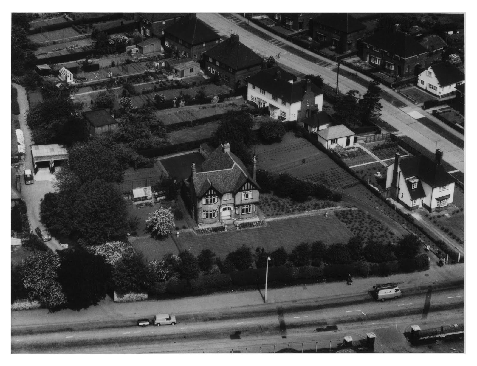 Watnall Road running left-to-right, and Long Hill Rise in the top-right. To compare with recent satellite image, click here.
 STORY TO TELL...? Please share it with us, using the "comments" box (below).
 STORY TO TELL...? Please share it with us, using the "comments" box (below).
 STORY TO TELL...? Please share it with us, using the "comments" box (below).
 STORY TO TELL...? Please share it with us, using the "comments" box (below).
 STORY TO TELL...? Please share it with us, using the "comments" box (below).
 STORY TO TELL...? Please share it with us, using the "comments" box (below).
 Monument erected to the memory of philanthropist and healer Zachariah Green, in Titchfield Park.
 STORY TO TELL...? Please share it with us, using the "comments" box (below).
 STORY TO TELL...? Please share it with us, using the "comments" box (below).
 STORY TO TELL...? Please share it with us, using the "comments" box (below).
 STORY TO TELL...? Please share it with us, using the "comments" box (below).
 This petrol rationing book is thought to date from the "Suez Crisis" of 1956. (Note "Her Majesty" - so must be 1952 or later)
 STORY TO TELL...? Please share it with us, using the "comments" box (below).
 The War Memorial in Titchfield Park.
 The War Memorial in Titchfield Park.
 Monument erected to the memory of philanthropist and healer Zachariah Green, in Titchfield Park.
 STORY TO TELL...? Please share it with us, using the "comments" box (below).
 A retail building on Hight Street, designed by the Victorian architect Watson Fothergill. For more on this architect click here.
 STORY TO TELL...? Please share it with us, using the "comments" box (below).
 Hucknall's Sensory Garden is in the grounds of St Mary's Church, close to the Market Square.
 Some well-stocked stalls on Hucknall's Friday Market.
 STORY TO TELL...? Please share it with us, using the "comments" box (below).
 STORY TO TELL...? Please share it with us, using the "comments" box (below).
 STORY TO TELL...? Please share it with us, using the "comments" box (below).
  Photo shows Hucknall Central Station. Access to the platform was from the footbridge (seen here), which ran alongside the main Watnall Road bridge.
 Plaque on front of engine "1873 - 1988 Linby Colliery Last Train"
 Picture shows a parade walking through Hucknall to mark a Christian festival - possibly Whitsuntide.
 Aerial view of Spring Street Schools.
 Photo shows a celebration event - probably a street party to mark Queen Elizabeth II's Coronation.
 STORY TO TELL...? Please share it with us, using the "comments" box (below).
