Archive Photo : Rolls Royce

This aerial view is taken from the south-west, and shows the airfield buildings.

The Shortwood Avenue/Farleys Lane area can be seen in the top of the picture. To compare with current satellite images click here.

STORY TO TELL...? Please share it with us, using the "comments" box (below).

Recent Photo : Mining Statue (Lower Section)

STORY TO TELL...? Please share it with us, using the "comments" box (below).

Recent Photo : Red Lion Pub

STORY TO TELL...? Please share it with us, using the "comments" box (below).

Recent Photo : Titchfield Park and War Memorial

STORY TO TELL...? Please share it with us, using the "comments" box (below).

Archive Photo : Long Hill Rise

Long Hill Rise (south side). To compare with recent satellite image, click here.

STORY TO TELL...? Please share it with us, using the "comments" box (below).

Archive Photo : Long Hill Rise

Long Hill Rise - northern side of the road is shown in upper-left, and southern side in bottom-right. To compare with recent satellite image, click here.

STORY TO TELL...? Please share it with us, using the "comments" box (below).

Archive Photo : Watnall Road and Long Hill Rise

Watnall Road running left-to-right, and Long Hill Rise in the top-right. To compare with recent satellite image, click here.

STORY TO TELL...? Please share it with us, using the "comments" box (below).
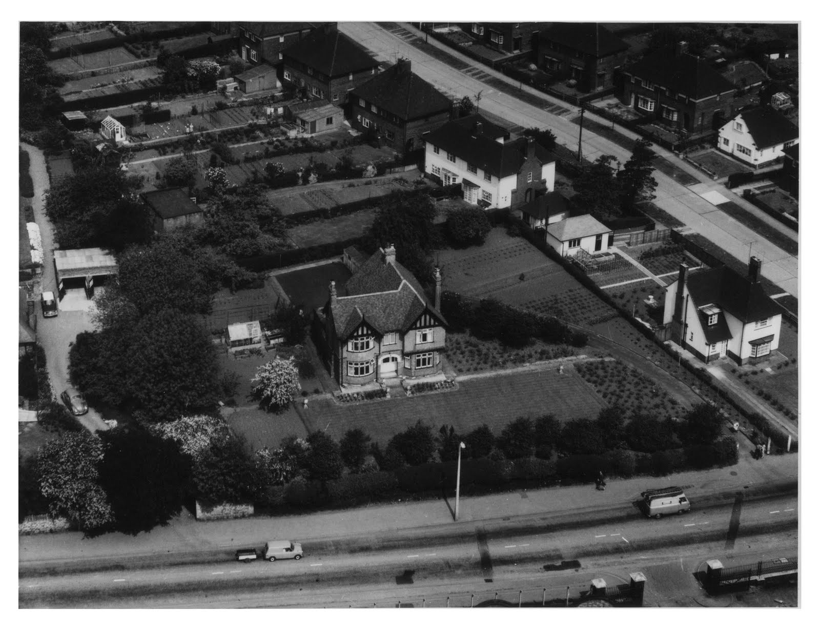
Recent Photo : Titchfield Park and Zachariah Green Monument

STORY TO TELL...? Please share it with us, using the "comments" box (below).

Recent Photo : Titchfield Park and War Memorial

STORY TO TELL...? Please share it with us, using the "comments" box (below).

Archive Photo : Terrace Houses

STORY TO TELL...? Please share it with us, using the "comments" box (below).