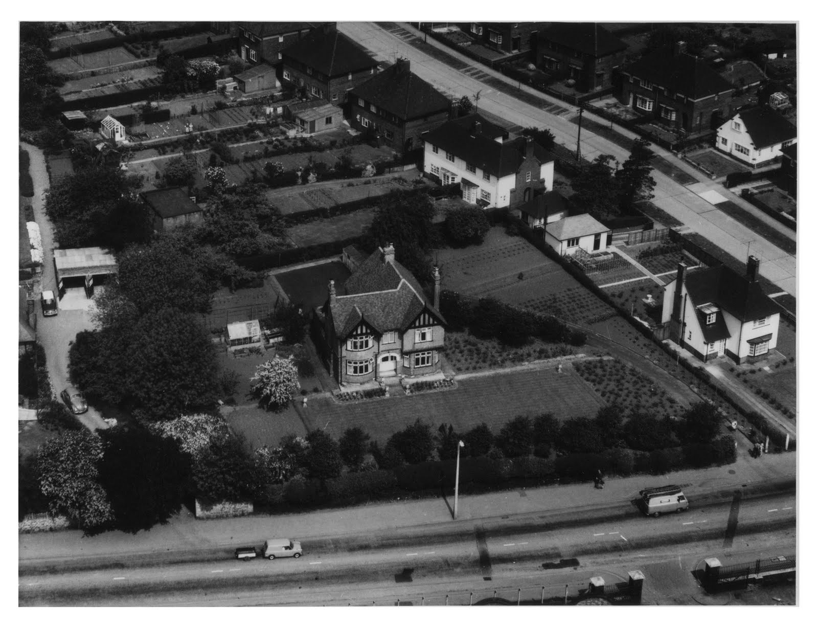
 Watnall Road running left-to-right, and Long Hill Rise in the top-right. To compare with recent satellite image, click here.
STORY TO TELL...? Please share it with us, using the "comments" box (below).
Watnall Road running left-to-right, and Long Hill Rise in the top-right. To compare with recent satellite image, click here. STORY TO TELL...? Please share it with us, using the "comments" box (below).
 Photo shows Hucknall Central Station. Access to the platform was from the footbridge (seen here), which ran alongside the main Watnall Road bridge.
 A footbridge, made in Hucknall by Briton Fabricators Ltd of Watnall Road.

 A footbridge, made in Hucknall by Briton Fabricators Ltd of Watnall Road.
 Aerial photo, showing Central Station and its passenger footbridge adjacent to Watnall Road.
 Aerial photo, looking east along Storth Avenue. Photo taken from Central Station area (rail line and bridge at bottom of picture), with Watnall Road running left-to-right.
 Aerial view, looking north along Watnall Road towards town centre. Photo taken above Central Station area (just visible at bottome-left of picture), and shows buildings which still exist (see here).
 This aerial view is taken from the south, and shows the airfield buildings.
 STORY TO TELL...? Please share it with us, using the "comments" box (below).
 STORY TO TELL...? Please share it with us, using the "comments" box (below).
 STORY TO TELL...? Please share it with us, using the "comments" box (below).
 Photo shows Hucknall Central Station, looking north along the LNER Line which ran between Nottingham and Sheffield.

