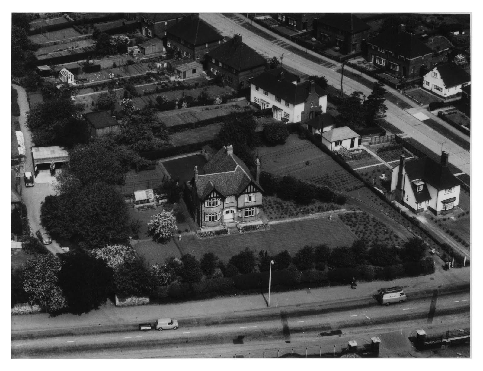
 This aerial view of Titchfield Park was taken from the east, and shows the cricket field and tell-signs of the original formal gardens (now replaced by football pitches).
The cemetery can be seen in the bottom-light of the picture. Cherry Avenue and Laburnum Grove are to the left of the cemetery. Johnson Avenue and Broomhill Road can been seen on the far-left of the picture.
Park Drive can be seen running left-to-right, with Croft, Storth and Caddaw Avenues above.
The industrial units railway tracks (top-left) have been replaced by residential properties (Minstrel Close, Sheridan Way, Versaille Gardens, Vyella Gardens).
The main road in the top-left of the picture is Farleys Lane.
To compare with current satellite view, click here.


 STORY TO TELL...? Please share it with us, using the "comments" box (below).
